 vesseltracker.com
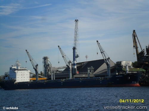
Vessel BARBRO G IMO: 9546796, MMSI: 255802390 Bulk Carrier
UTC, 43.66212, -9.86506, course: 247, speed: 9.8
UTC, 43.47500, -10.28500, course: -1, speed: 10
2026-02-08 02:24:28 UTC, 43.19167, -10.78167, course: -1, speed: 9
Live AIS position:
UTC. 67 nm W of Villanueva de Lorenzana),
updated 2026-02-08 02:24:28 UTC.
Find the position of the vessel BARBRO G on the map. The latter are known coordinates and path.
marine traffic ship tracker show on live map
The current position of vessel BARBRO G is 43.19167 lat / -10.78167 lng. Updated: 2026-02-08 02:24:28 UTCCurrently sailing under the flag of Portugal (MAR)
BARBRO G built in 2010 year
Deadweight:
29975 tDetails:
Last coordinates of the vessel:
UTC, 43.74460, -9.60977, course: 248, speed: 9.7UTC, 43.66212, -9.86506, course: 247, speed: 9.8
UTC, 43.47500, -10.28500, course: -1, speed: 10
2026-02-08 02:24:28 UTC, 43.19167, -10.78167, course: -1, speed: 9